

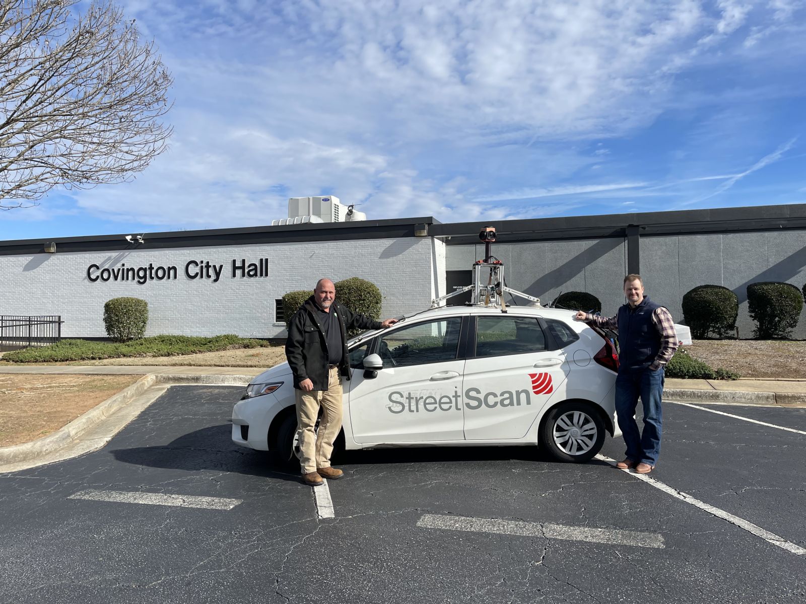
Covington Selects High-Tech Approach to Assess and Repair Road Network
Covington has selected StreetScan to perform a mobile sensing survey of its road network that will help prioritize maintenance & repairs. Data collection of roads and capture of right of way areas began on December 17 and was completed December 20th.
December 20, 2022

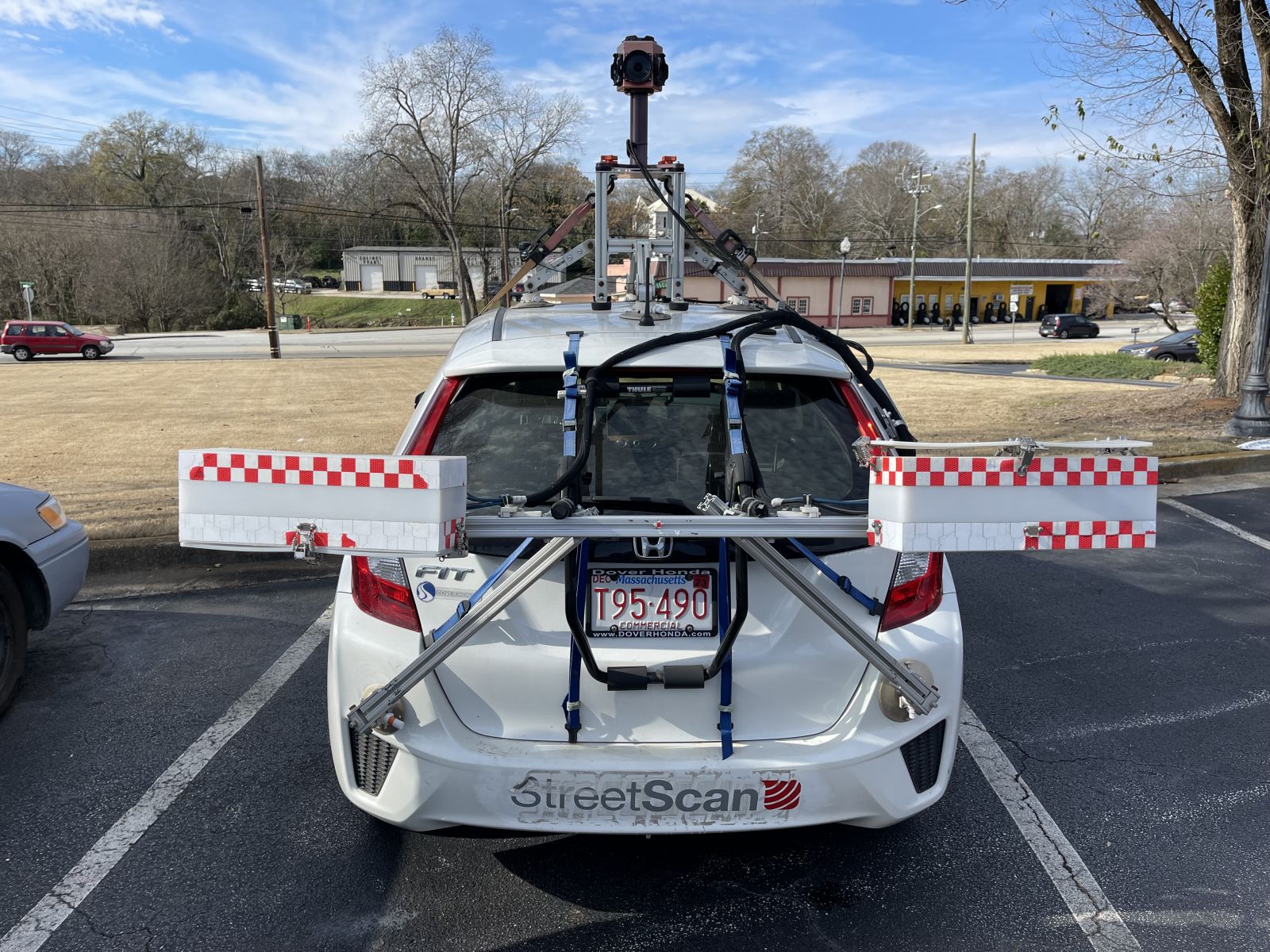
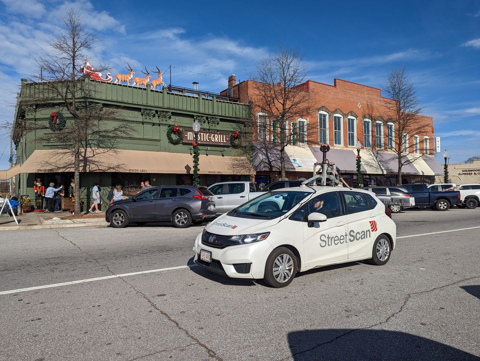
StreetScan’s vehicle-based data collection provides up-to-date and objective information on road asset conditions. The company employs 3-D imaging technology to detect and measure road defects such as cracking and bumps. StreetScan’s vehicles assess the condition of roadways in normal traffic flow. Once the survey is completed, the company develops a Municipal-wide inventory of road condition on a scale which runs from 0-100 (with 0 being the worst and 100 being ideal).
Survey results will be delivered in early 2023 through Streetlogix, StreetScan’s configurable, GIS web-based application, providing an enriched view of the city’s street network with color-coded pavement conditions and other assets, along with images for every scanned road and a range of data-driven decision-making tools. Streetlogix’s intuitive tools help improve decision making, estimate budget requirements and create capital improvement plans to optimize every dollar invested.
Covington joins more than 250 municipalities all over the US and Canada in selecting StreetScan’s pavement management solution, including Atlanta, GA, Carmel, IN, and Gainsville, FL.
“We are thrilled to have been selected by the Town of Covington. Our pavement management service will provide objective analysis, enabling the city to make objective, data-driven, informed decisions on roadway improvements and optimize the City’s resources”, said Jon-Erik Dillon, StreetScan’s CEO.
Project Overview
|
Total roads to assess |
107 miles |
|
Total pavement markings to assess |
107 miles |
####
About StreetScan
StreetScan is a premier data provider and analytics company serving smart cities’ transportation infrastructure needs. We bring together computer vision, machine learning, data science, and sensing expertise to provide diagnostics for the world's transportation infrastructure.
Return to list.